Tamala Project
26.4069° S, 113.7150° E
Malgana and Nanda Country
A long-term opportunity to restore Country at scale.
The Tamala Project
[ MALGANA AND NANDA COUNTRY ]A restoration opportunity on the World Heritage listed Shark Bay coast of Australia.
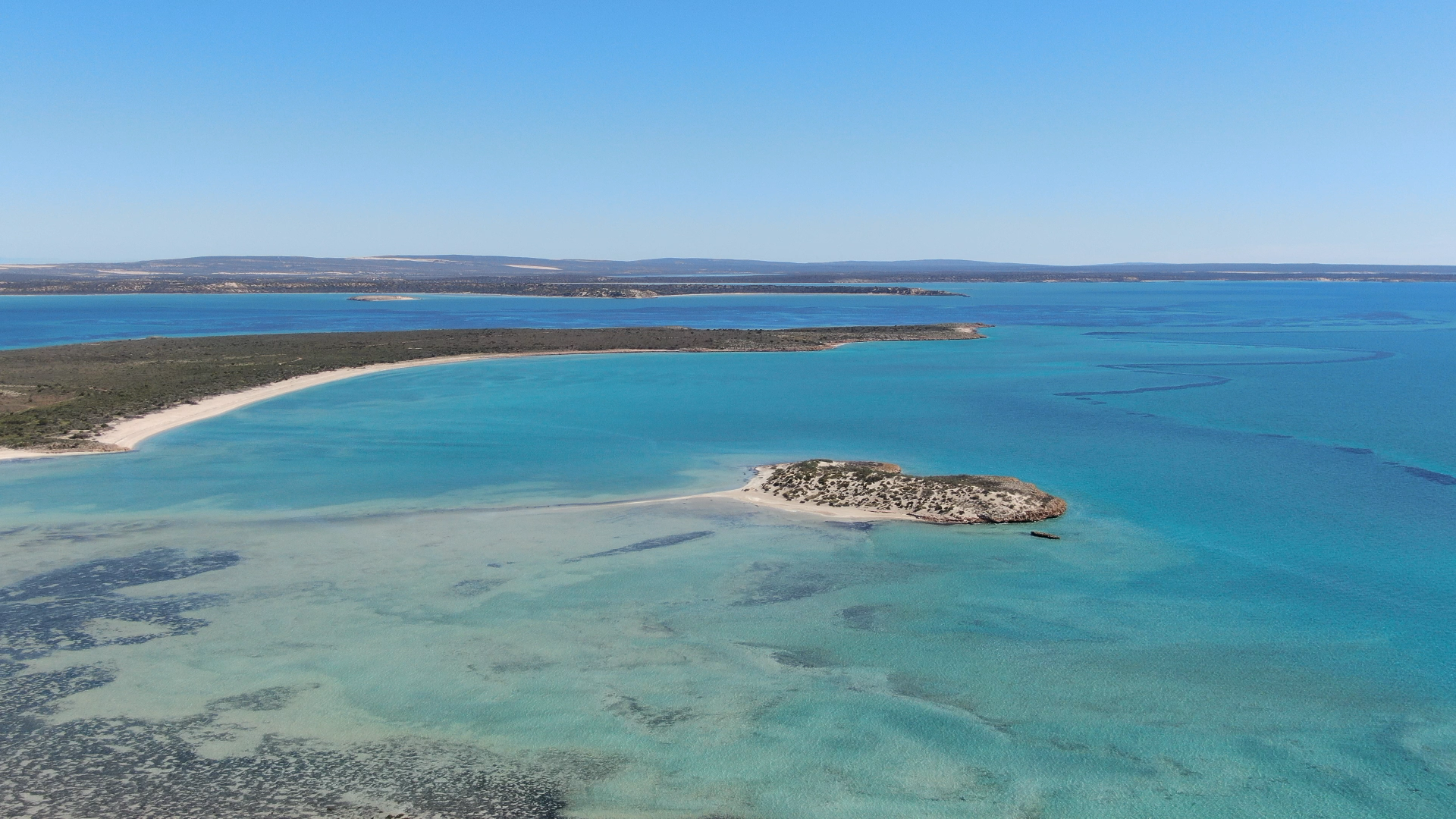
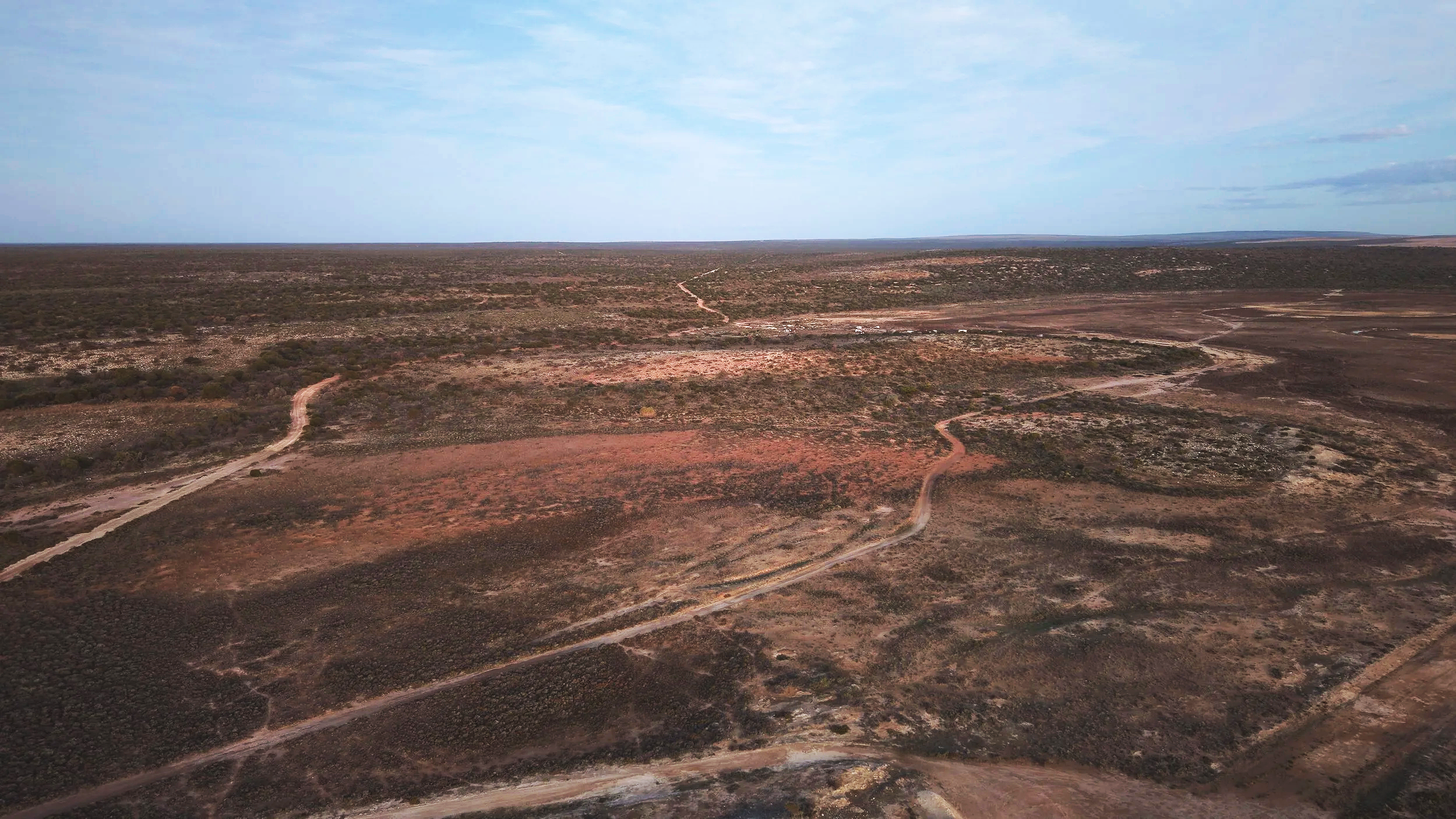
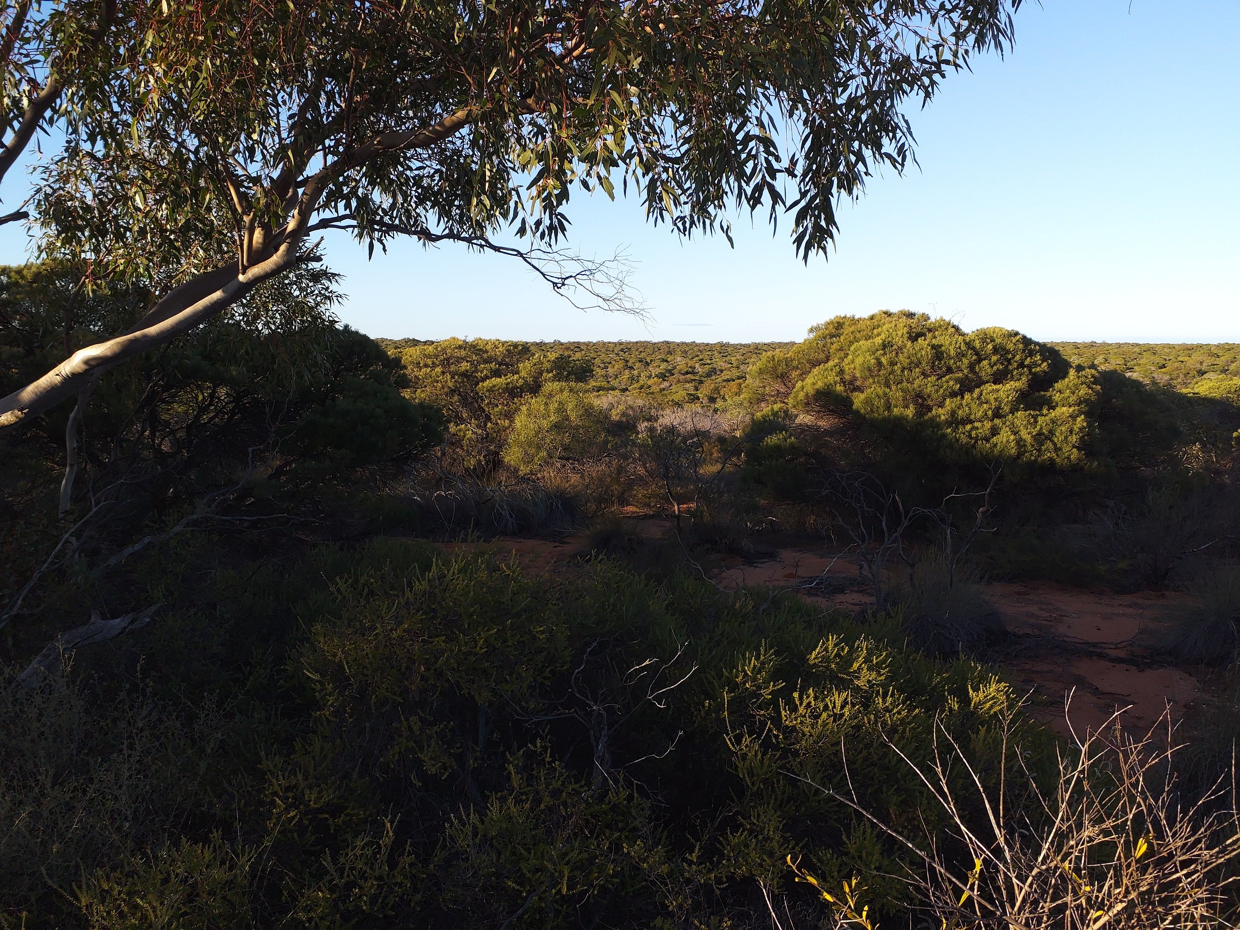
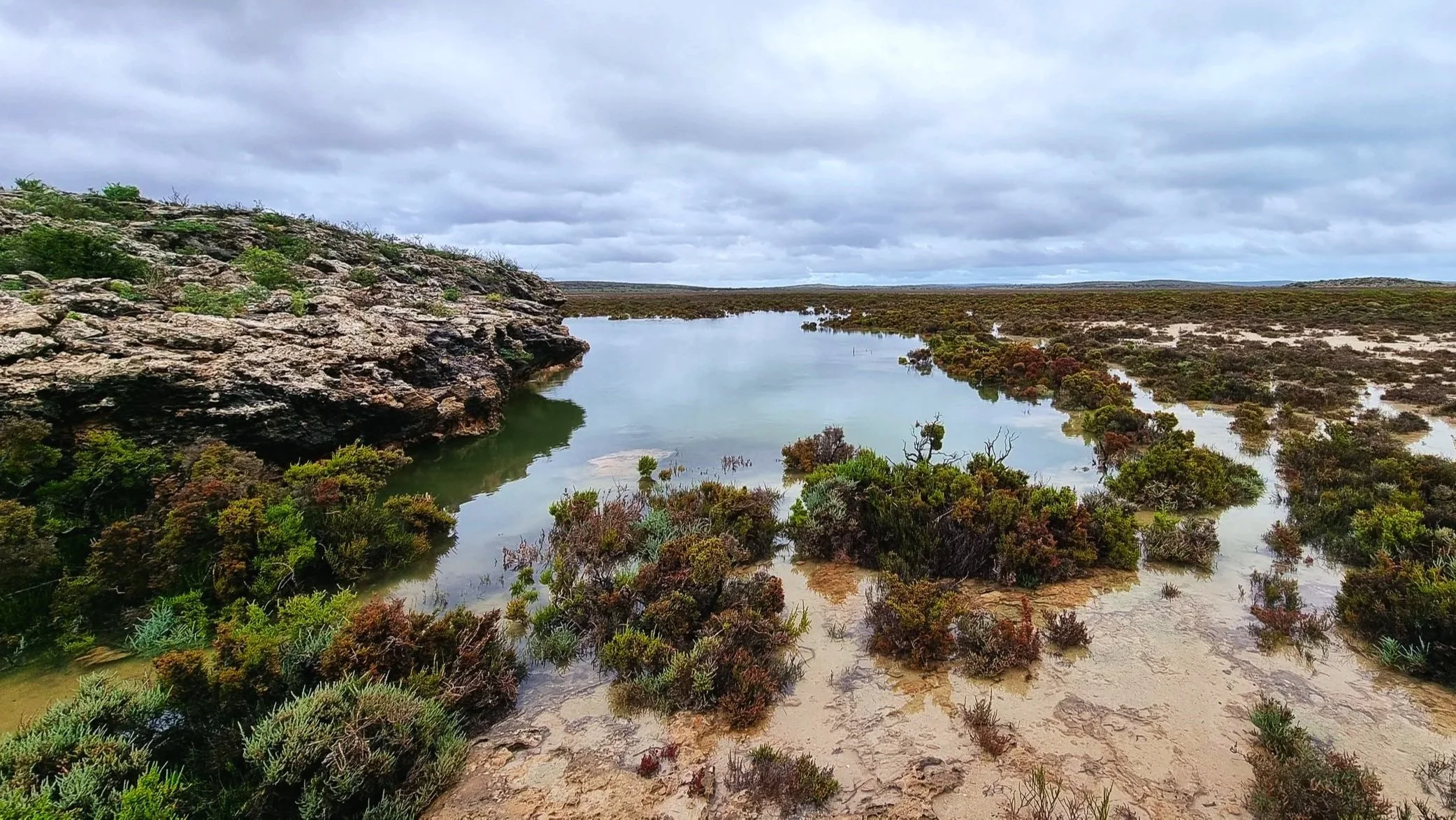
Tamala sits on Malgana and Nanda Country, on the remote Shark Bay coast of Western Australia, where ancient dunes, rangelands and coastal systems come together within one of Australia’s most significant natural landscapes.
After more than a century of grazing and clearing, parts of the property now present a rare opportunity to restore degraded Country at scale. Across 72,290 hectares assessed, 36,975 hectares have been identified as potentially plantable, with indicative potential for 97,127 ACCUs per year.
Tamala’s World Heritage setting makes it particularly rare.
Shark Bay is one of only 12 natural World Heritage sites properties in Australia, protected for generations to come. Combined with a CO2 Australia’s pastoral lease, this creates an a rare opportunity to restore Country at scale within a landscape where the work is intended to endure well beyond the life of the project.
As the project develops, engagement and collaboration with Traditional Owners will help shape the restoration approach, recognising their enduring connection to Country.
For investors, that permanence matters. It supports a more durable carbon asset, with ACCUs backed by restoration designed to last.
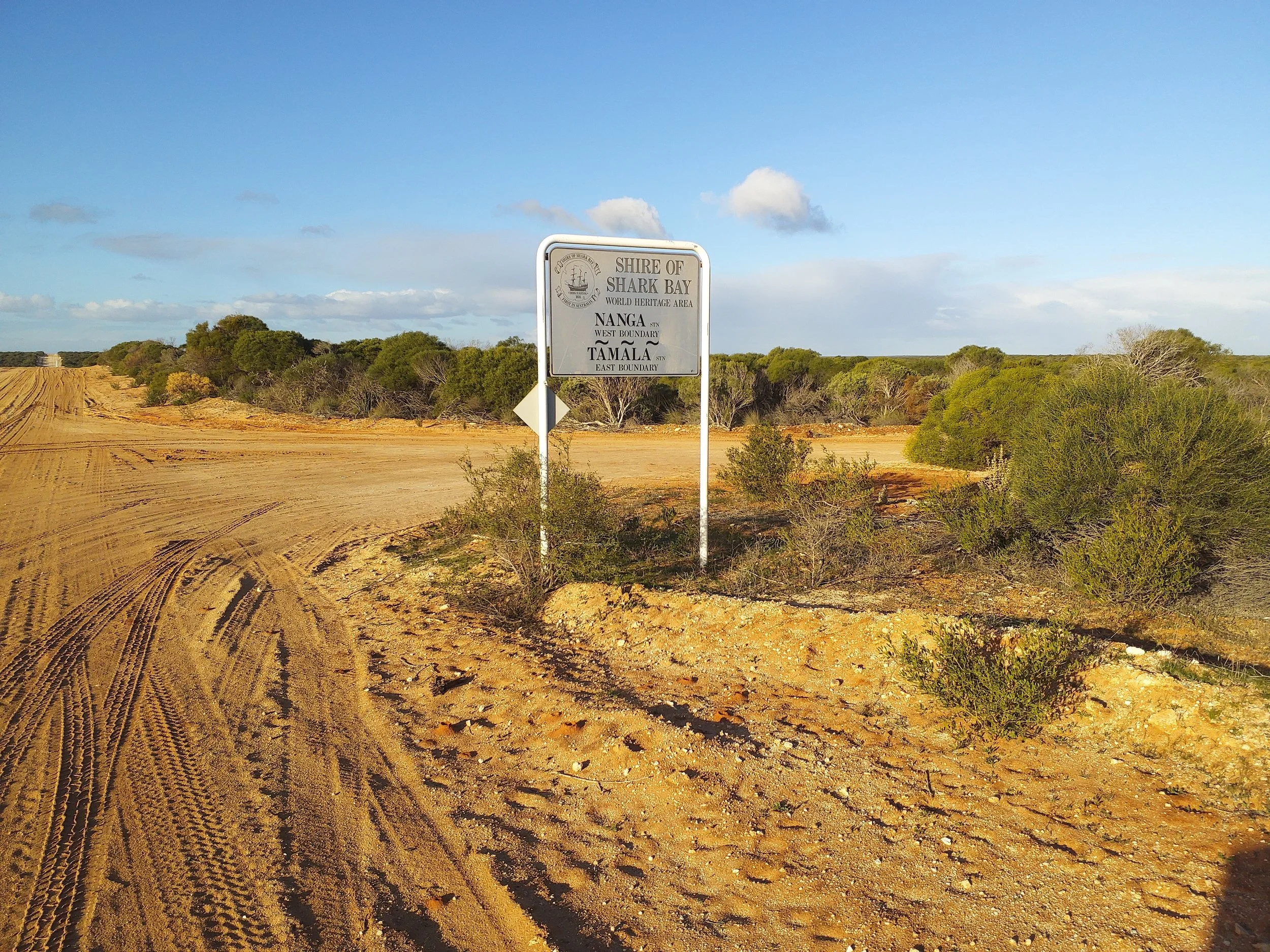
Sitting on Malgana and Nanda Country, CO2 Australia recognises the enduring connection of Traditional Owners to Country and the importance of engagement and collaboration as the project develops.
[ OVERVIEW ]The opportunity at a glance
Total property assessed
72,290 ha
Plantable area, LiDAR-verified
36,975 ha
Indicative ACCUs per year
97,127
Project areas
17
Stage One areas
4
Designed around the landscape
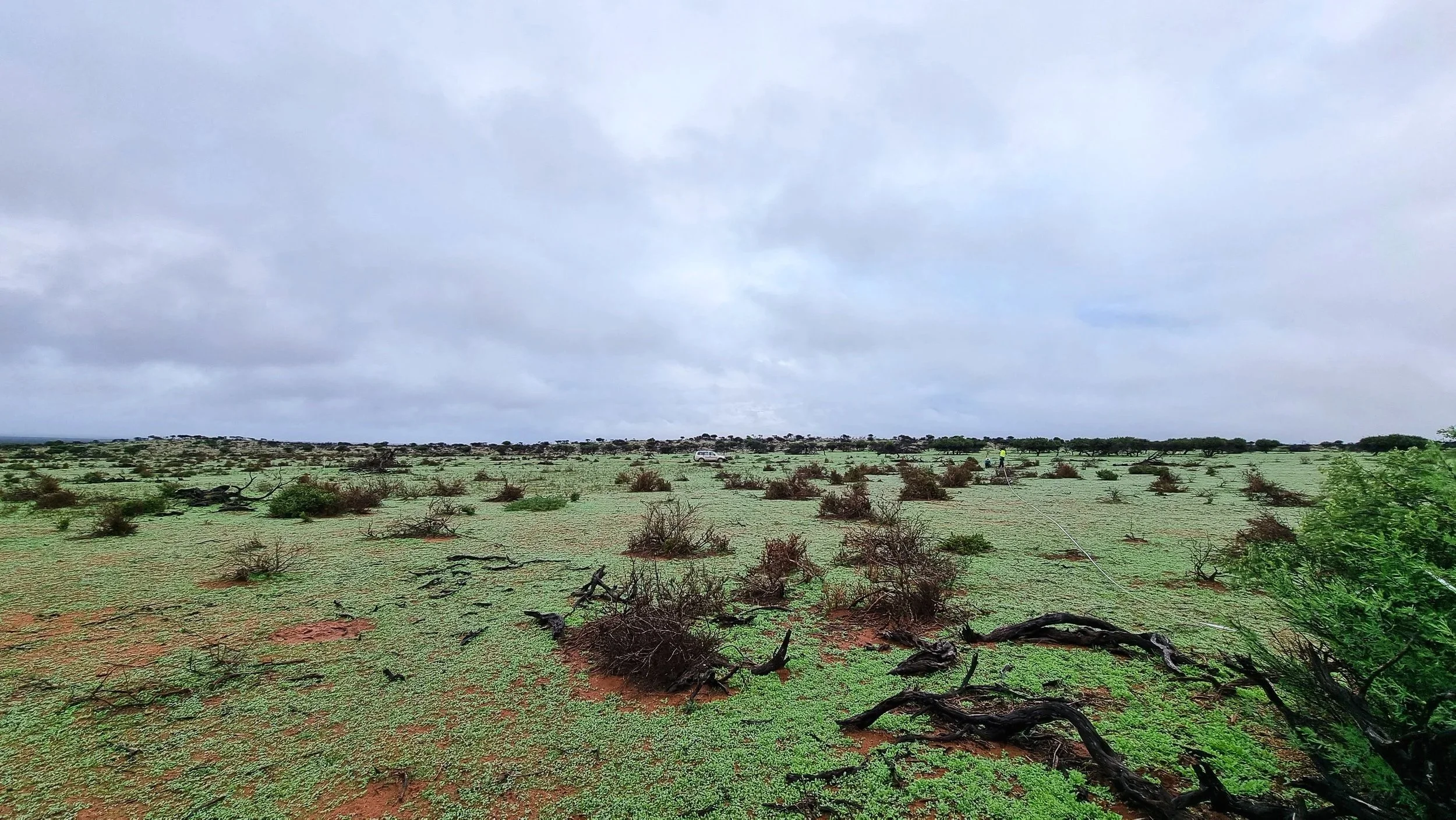
Tamala has been assessed from the ground up. That means starting with the physical characteristics of the property rather than assuming the whole station is suitable for development.
Airborne LiDAR, high-resolution imagery and site analysis have been used to understand existing vegetation, terrain and planting potential across the property.
Existing forest excluded
17,949 hectares of existing forest were identified through LiDAR and excluded from the project area.
Planting potential mapped
LiDAR and NDVI analysis are being used to identify bare ground and assess planting suitability across shortlisted areas.
Sites assessed for restoration
Species, soils and site characteristics are being considered against mapped vegetation communities and ground validation to determine what can be established and where.
A clear baseline established
The LiDAR layer provides a measured baseline against which future growth and natural regeneration can be monitored.
[ BUILT ON EVIDENCE ]The project is being developed using the Environmental Planting (EP) methodology, with modelling and assessment supported by high-resolution LiDAR and spatial data.
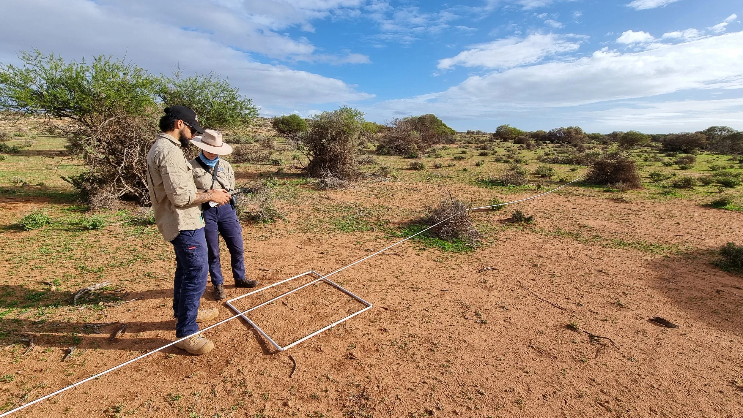
Before an area is considered for development, its suitability is assessed against factors including:
+ Existing forest and woody vegetation
+ Terrain and elevation
+ Ground condition
+ Vegetation communities
+ Planting potential
+ Site access and operational feasibility
+ Additionally and baseline conditions
This evidence-led approach is designed to progressively increase project certainty as further assessment and ground-truthing is completed.
Designed to scale
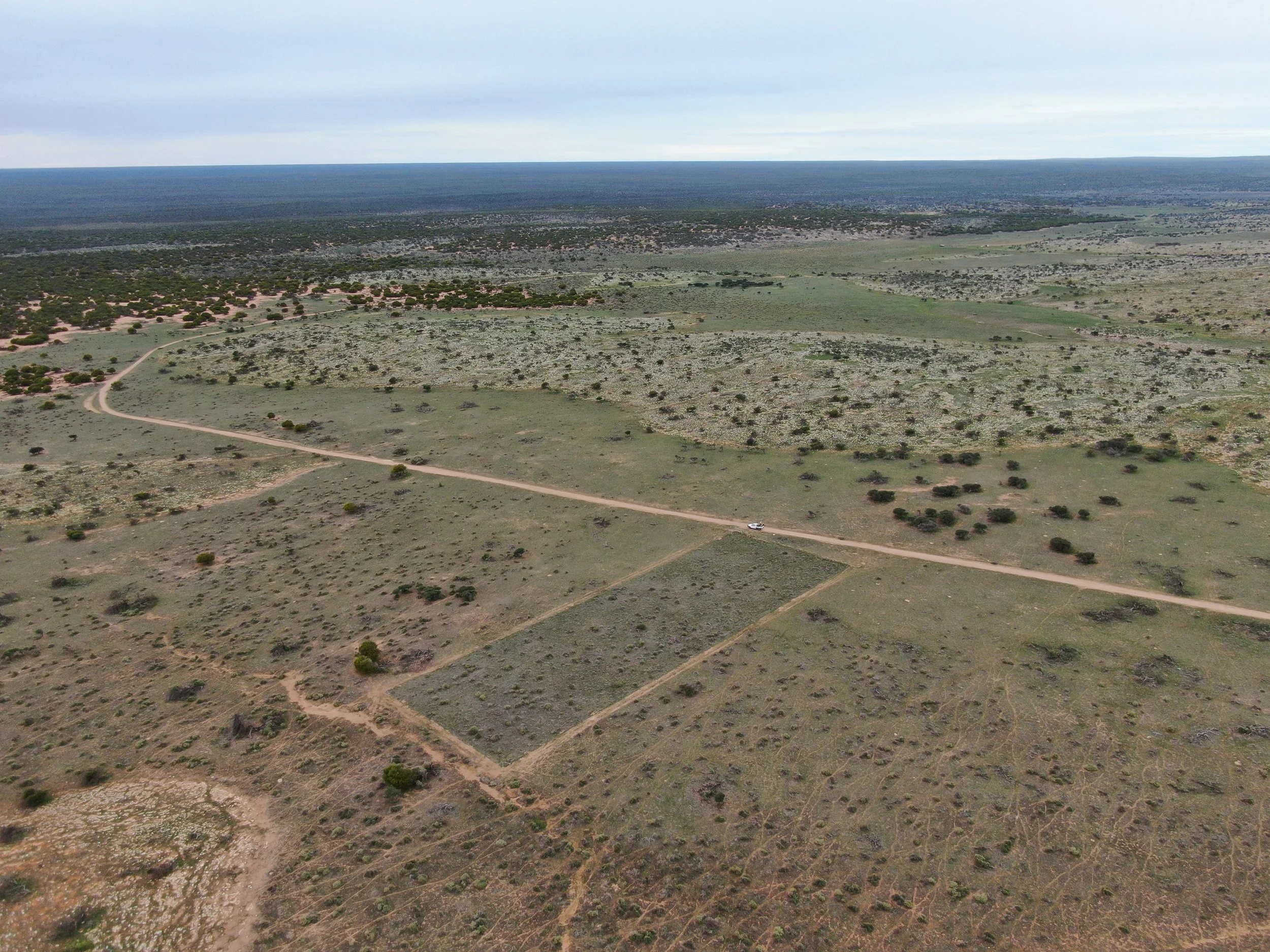
The project has been assessed using 750 FullCAM model points, interpolated across the plantable ground.
Four project areas have been prioritised for Stage One, providing an initial development opportunity while the broader 17-area portfolio creates a pathway to scale.
Indicative ACCUs / year
22,525
9,890
8,885
2,522
97,127
Stage one area
Area 9 (Big Mill)
Area 11
Area 6
Area 3
All 17 areas
Suitable hectares
5,494
3,532
2,866
970
36,975
A staged development pathway allows capital deployment to follow increasing project certainty, ground-truthing and operational feasibility, with the broader opportunity progressing as it is validated.
Indicative yields remain subject to refinement, operational feasibility and financial modelling.
More than a carbon project
The scale of Tamala creates the potential to generate value across more than one dimension.
-
A globally significant landscape, protected for generations, strengthening the permanence of the project’s restoration and carbon outcomes.
-
Large-scale abatement from reforestation across suitable areas of the property.
-
Permanent, unharvested native vegetation matched to the landscape and mapped vegetation communities.
-
The potential to improve habitat and ecological condition, with biodiversity outcomes monitored alongside carbon.
-
A long-term opportunity connected to the condition, productivity and resilience of the land.
-
A project developed with recognition of Country and ongoing engagement with Traditional Owners and relevant stakeholders.
The opportunity is not to choose between carbon and nature. It is to develop them together, landscape restoration for greater impact, at scale.
A long-term approach
Tamala is being developed with a long-term view. As pastoral lease holder, CO2 Australia has a direct connection to the property and an enduring interest in its management and future.
That connection allows project development to be considered alongside the long-term condition of the land, creating alignment between project performance and the health of the underlying asset.
A significant place. A measured opportunity. A pathway to scale.
Why Tamala?
World Heritage setting in the Shark Bay region
36,975 hectares of identified plantable land
97,127 indicative ACCUs per year across the broader opportunity
Evidence-led development using LiDAR, imagery, FullCAM modelling and site assessment
Staged development across four priority areas and a broader 17-area opportunity
Long-term restoration alongside carbon generation
Natural capital and biodiversity potential
Traditional Owner engagement informing project development and outcomes
CO2 Australia as pastoral lease holder
Be part of the next stage of Tamala
Explore our Taronga project